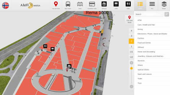
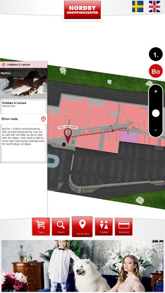
3D Wayfinder has been lately testing face recognition technology and what are the possibilities to integrate it with wayfinding software. This is a concept that connects biometric data to certain locations and makes wayfinding personal and unique.
When creating 3D Wayfinder, we have followed the principles that each customer would like to customize their application and integrate it with other applications. Also including Digital Signage software. 3D
Wayfinding solution usually incluse information like bus time schedules, weather forecast or local news. But the possibilities are endless. We believe that integrating face recognition technology in the your wayfinding solution might be one of the things you want to consider when you know who’s gonna use Wayfinding and what for.
One of the best places to have that technology is at conferences or seminars. When client registres to the event online they should a have a option to upload the picture of their face , using webcam or phone, which will be later used on the wayfinding software and accredidation.
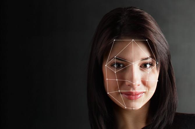
When a person arrives to the event they have possibility to quickly check in using the same wayfinding totem. After check in it is possible to show the person their daily schedule and direct them to the right locations. That would save the guest time with not looking around or trying to figure out what was the next thing they needed to attend.
Using face recognition feature is not only for conferences or seminars. Contact us and we find right solutions together.
Contact us to make your wayfinding concept become real and for integrating face recognition technology with 3D Wayfinder.

