
Wayfinding in schools poses a particular challenge. School buildings contain numerous classrooms, and many of their users are unfamiliar with the layout. New students, visiting parents and external guests all need directions, often at short notice. A floor plan answers only part of the question. In practice, people also ask where their next lesson takes place, when the school bus departs and whom to contact. For this reason, 3D Wayfinder links the map to the information a school already uses.
Wayfinder as an Information Centre
Wayfinding in schools works best when it blends many types of information together. Our standard solution includes a detailed 2D or 3D overview of the building and a directory for searching. In addition, the system can connect to the school’s timetable provider and depict it on the screen. Students and teachers follow a schedule that can change several times a year. For that reason, they find their lessons and rooms in one place. Moreover, we can add a list of teachers and their home class to the solution, and optionally personal contacts as well. Therefore, visitors can connect each teacher to their classroom and navigate more easily. In general, the screen relies on information the school already maintains, which keeps the setup simple.
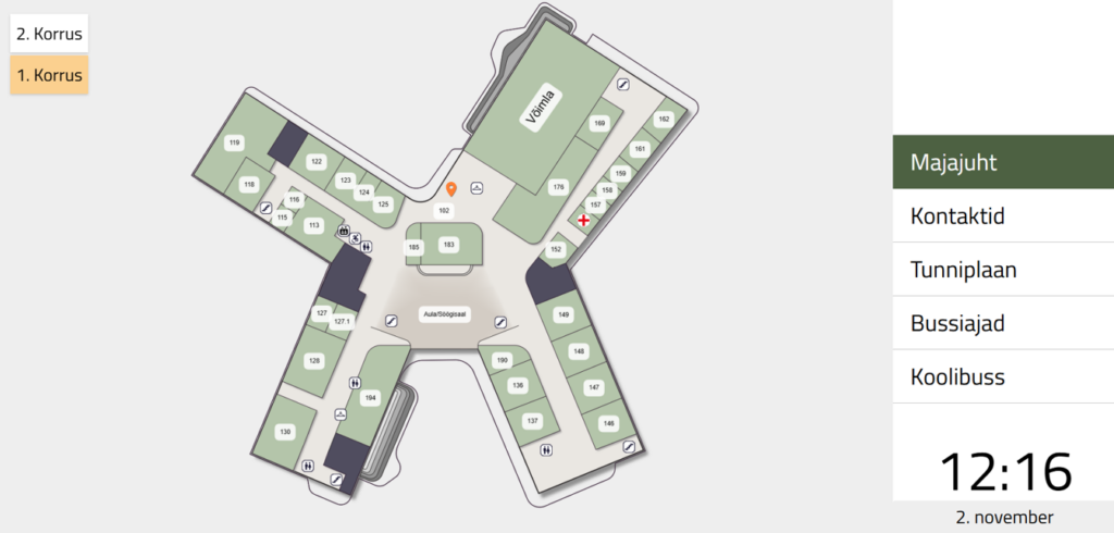
Wayfinding in schools also involves navigation and journey planning beyond the rooms and lessons inside the buildings. A large proportion of students and teachers use public transport to arrive at and leave the school. Some schools also use a daily school bus. Therefore, the screen can show arrivals and departures of the school bus and nearby public transport stops. As a result, the solution supports people even outside working hours and beyond the school walls.
Wayfinding Channels in Schools
The same solution for wayfinding in schools runs on kiosks and on the web. A kiosk gives visitors an immediate starting point inside the building. On the other hand, the web version works on mobile devices, so students and visitors carry the map with them. In addition, QR codes aid positioning. They help the map recognise where a person stands, which makes the route easier to follow. Altogether, kiosks, web and QR codes cover the school from the entrance to the classroom.
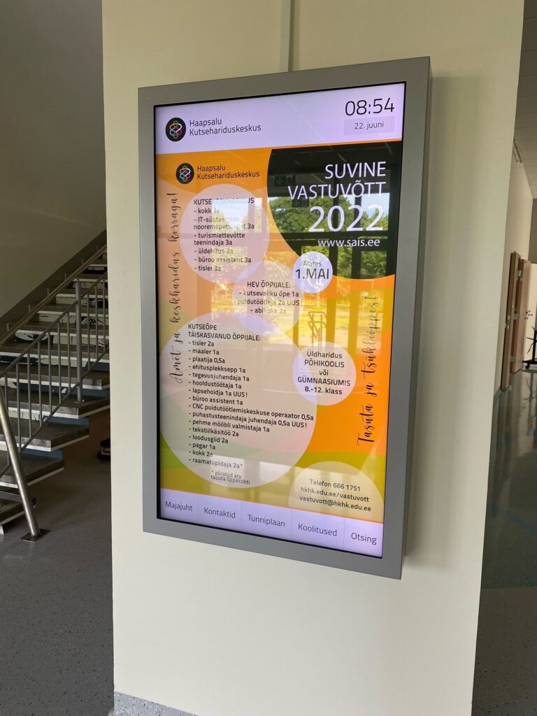
Our list of integrations does not end there. The screen can show any information next to the map that the school considers necessary. Furthermore, schools can turn the creation of their solution into an educational course. At Thorildsplan High School, for example, students built 3D models of the schoolhouse as part of the curriculum. Thus, the school put the students’ favourite model into use, taught a valuable course and saved on solution costs.
In short, wayfinding in schools works best when the screen shows more than a map. All these integrations fit together and create a clear, complete interface. Importantly, 3D Wayfinder supports them relatively out of the box. Contact us to see how this setup works for your school.