Setting Up Wayfinding Software for Refugee Camps

December 14, 2022

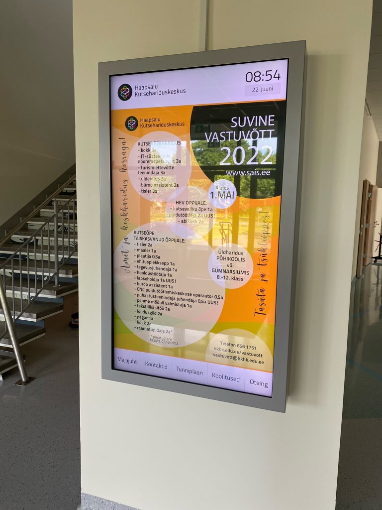
We have build many wayfinding solutions for hospitals. Hospitals have more options than refugee camps. Refugee camps are usually underfunded and over-crowded. This creates new set of challenges completely different to hospitals. Navigating refugee camps with 3D Wayfinder software is easy and avaible for everyone who have smartphone. Read more about wayfinding software for refugee camps.

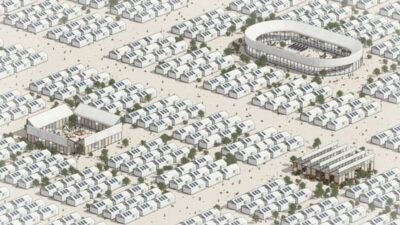
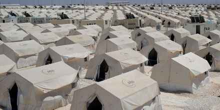
First you can not set up self-service touch kiosks in refugee camp. Because it is expensive and easy to vandalize. Traditional maps can be confusing and difficult to position yourself there. Our team has discussed this a lot. Especially now, when we have crisis in Ukraine. More than 3 million people have escaped Ukraine mainly through Poland.

Luckily smartphone prices have gone down in last 5 years and are wildly used even rural conflict areas. It is not uncommon to see at least one refugee family member with smartphone. This one piece of technology is what we can use to refugee advantage in these large camps.

Navigating refugee camps with 3D Wayfinder software is easy and avaible for everyone who have smartphone.
The picture illustrates a large refugee camp

3D Wayfinder software is HTML-based so any smart device is more than enough to use it. We have developed easy to use QR code based solution to position your self inside the camps and our software guides you to needed destination. QR is cheap and if there is no need for investments on touch screens/self-servicing kiosks it will bring price down significantly for organizations that manage these refugee camps.

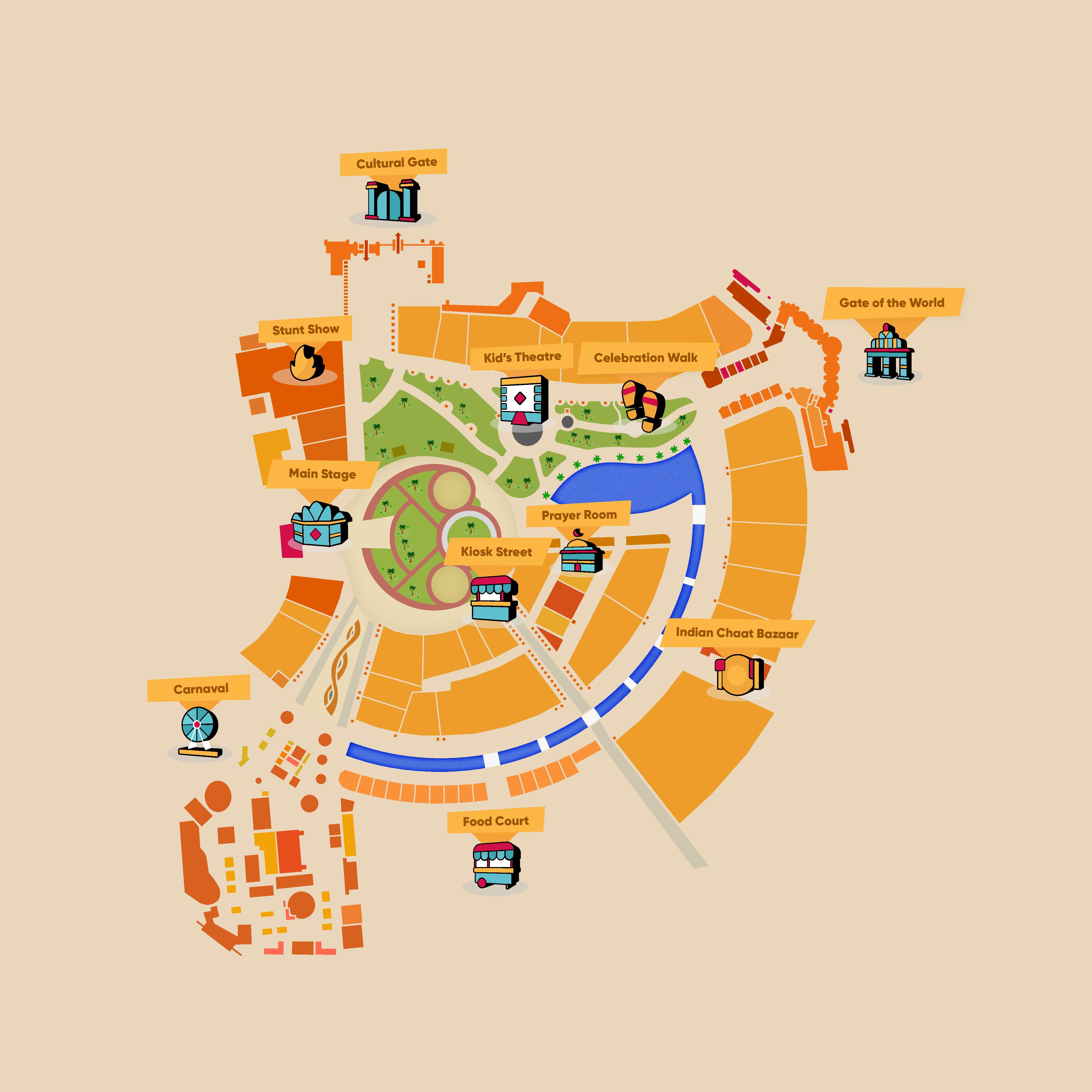
QR-code based wayfinding software for refugee camps

The idea itself is simple, organizations provide refugees on camps with Wifi or 4G through local telecom service providers. Tents are given code/name and provided with QR code stickers. Refugee scans it to open software and automatically positioning them self. Then selecting via search or from list the tents code/name and get live direction to their destination. Vital location are highlighted for quick selecting in software. If they still get lost they can scan near by tents QR code and get new direction from there. We can provide 2D maps of the area and tents through aerial photos. It reduces the human labor to map the camp on site. This solutions is still under development and all ideas to improve it are warmly welcome!

We have developed easy to use QR code based solution to position your self inside the refugee camps and our software guides you to needed destination. Navigating with 3D Wayfinder software in refugee camps is easy.
Syrian refugee camp.

Let us build better future for us in cities and for people who are forced to be refugees!

« »

Back to School With Wayfinder

September 22, 2022

More and more schools are using wayfinder kiosks. Besides building plans and directories, touch screens are useful for providing information and promoting upcoming events. They are a good way to show lesson plans, contact data and transportation schedules.

Have you ever got lost in school? You might remember your first day in college and looking for your classroom. Besides dealing with natural first day stress and anxiety, you now have to look for the right room and worry that you will be late for class.

If you don’t remember this, then maybe you have been to an university building for a seminar or a conference, looking for the right room. You don’t have the time to wonder around and first thing you do is look for a building plan.

With wayfinding software it is much easier. You will see the upcoming seminar on the screen and with just one click, you will get directed to the right room in the right building. No more searching and wondering around.

Last year we finished setting up wayfinding solution for Haapsalu Vocational Education Center. They have a lot of students who are taking distance learning courses. As students drive to school 1 or 2 times a month. They are very happy to see wayfinding screen with a timetable.

school wayfinding software

In Haapsalu Vocational Education Center, wayfinding touch-screens are actively being used to promote different events – from Christmas Party and free courses to student exhibitions or defending final thesis. In information technology classes students can build their own map and use with 3D Wayfinder software. This allows student get practice in 3D modelling and see how it can work in real life application.

wayfinding software for schools and universities

For schools, colleges and universities we have educational discounts for wayfinding software licenses. Please contact us for more information.

« »

3D Wayfinder Helping Global Village Dubai Visitors to Find Their Way!

November 25, 2019

3D Wayfinder is proud to announce our new venture in helping Global Village Dubai to map their extensive theme park. Global Village is a massive theme park, where the diversity of human culture is showcased through cuisine, entertainment, music and architecture. The destination covers over 1,600,000 m2 and contains more than 200 outlets. During the 2018 season, the venue saw more than 7 million visitors! The question then becomes, how do you help guide people through this amazing maze?

3D Wayfinder helping Global Village Dubai visitors

Luckily we have the answer. In order to make navigating as simple as possible, for the very international crowd, our solution is based on Whatsapp, the most popular messenger app globally. The guest simply needs to type in where they want to go next and they will receive in return an URL, which will direct them to our Wayfinding resource. The device’s location will be located through GPS and the quickest route to the desired destination is generated. In addition, information about the attraction will be shown, e.g opening times, upcoming events or the menu. Convenient, right?

This is simply a 2D application of our capacities. We are providing our Wayfinding solution indoors as well, where relying on GPS isn’t an option. The basic concept is still based on triangulation, but instead of using satellites we utilize Bluetooth beacons. iBeacons and Eddystones are Bluetooth low energy devices that can broadcast their identifier to nearby portable electronic devices such as mobile phones or tablets. The other option is for people to insert their current location, e.g Starbucks, and their destination. This would make finding your way through an unfamiliar airport much less of a hassle. For instance, our Wayfinding solution for Changi airport in Singapore has without a doubt saved quite a few travellers from missing their flight. This is how 3D Wayfinder team helping Global Village Dubai visitors.

Contact us now to get the wayfinding solution that will meet your needs!

« »

Compass Widget for 3D Floor Plans

February 15, 2017

We have added compass widget for Developers Template. Compass arrow can be shown on top of the map canvas to point to the north (or any other direction) of the 3D floor plan.

Compass is one of the tools and widgets that is needed for one of our larger building information (BIM) project. There are also other tools under development that provide building information and help work with different data related with building 3D model.3D_Wayfinder_using_compass_widget

Compass widget is using 0-point of the Y-axis. It is called with Camera view-port service orbitController.  It has property currentRotation, which holds the model’s rotation data.  Needle of compass is animated using that data.
Compass example is integrated into Development template. Template can be accessed via the administration panel at admin.3dwayfinder.com when selecting the view with template “DevTemplate”.

When using compass, it is important to notice, that the 3D floorplan has to be modelled north pointing to Z axis. Otherwise you need to make adjustments in widget’s javascript code, which calculates the compass’ position.

« »