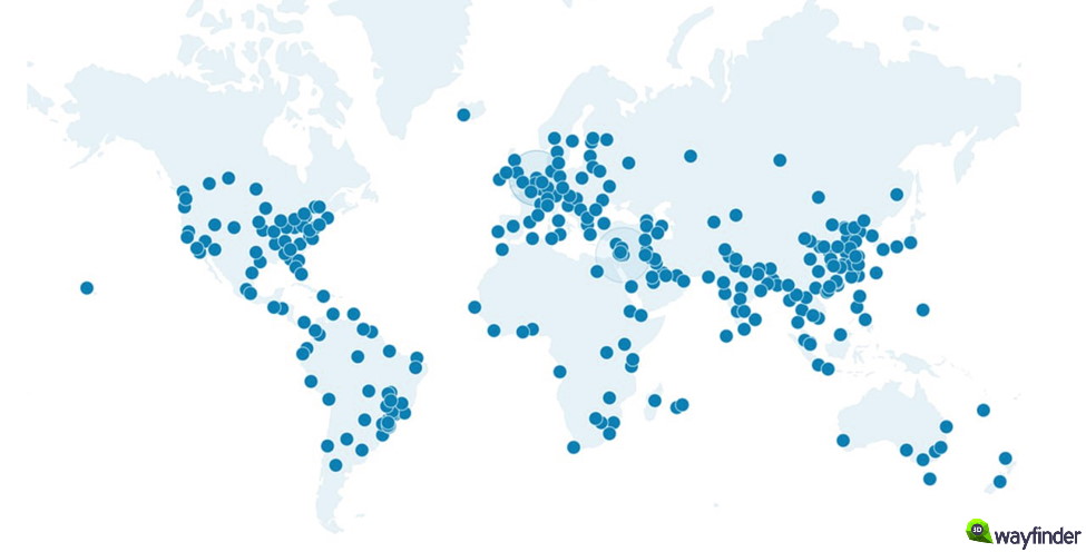
We are currently developing voice recognition feature for 3D Wayfinder. It will allow visitors to use wayfinding software without using touch-screens. Just say where you would like to go and wayfinder software will show you the way.
Voice recognition is becoming more popular and as the quality recognizing words is becoming better and mobile screens becoming smaller. It would be convenient to use voice orders instead of using touch-screens. Of course, there are privacy issues, as most of the voice recognition is done in servers. But for wayfinding software this is not an issue, as the wayfinding screens are public and nobody will make their private conversations near wayfinding screens.
How voice recognition for wayfinding works?
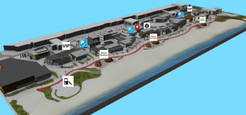
Let’s say you are looking for closest exit, toilet or just want to get a beer. So you just say “Exit”, “Closest toilet” or “Wayfinder, where can I get beer” and 3D Wayfinder can show you the route.
3D Wayfinder will use keywords and location names for voice recognition, the same way search functionality works. More keywords defined in wayfinder make the vocabulary larger. But definitely there will be AI implement in future. This will give much more possibilities. For example visitors canaska pint of Budweiser without “Budweiser” being entered as a keyword and still get to place where they can buy beer. Might be that the beer is not sold by pint. But at least they can get beer.
We can use languages for voice recognition, that are select in Wayfinder software. Languages can be add under settings in 3D Wayfinder administration panel. If possible, voice recognition can be active for all languages simultaniously. If not, we can use default language for voice recognition without selecting anything. After selecting prefered language wayfinder can switch also language for voice recognition. This depends capabilities of kiosk or touch-screen PC. Also, the challenge is to filter out background noise as wayfinder screens are usually in main entries and places where are more people around.
In future, voice recognition in wayfinding software will be available for all customers. It has to be turn on under settings and it would also require template that allows voice search. We will add this feature to our basic templates. So far, we can implement it in custom templates. So if you order custom template from us, we can also make search by voice available.

 9PM:
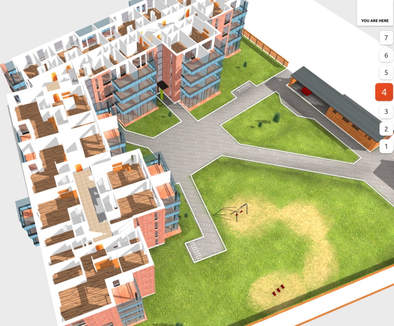
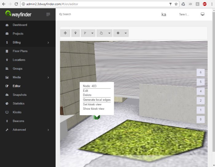
9PM: To use the weights you have to select the navigation node in


